I’ve used Coastal Explorer and ECS for many years and was happy to see an android app. However, I’m having some significant issues with the app functionality.
-
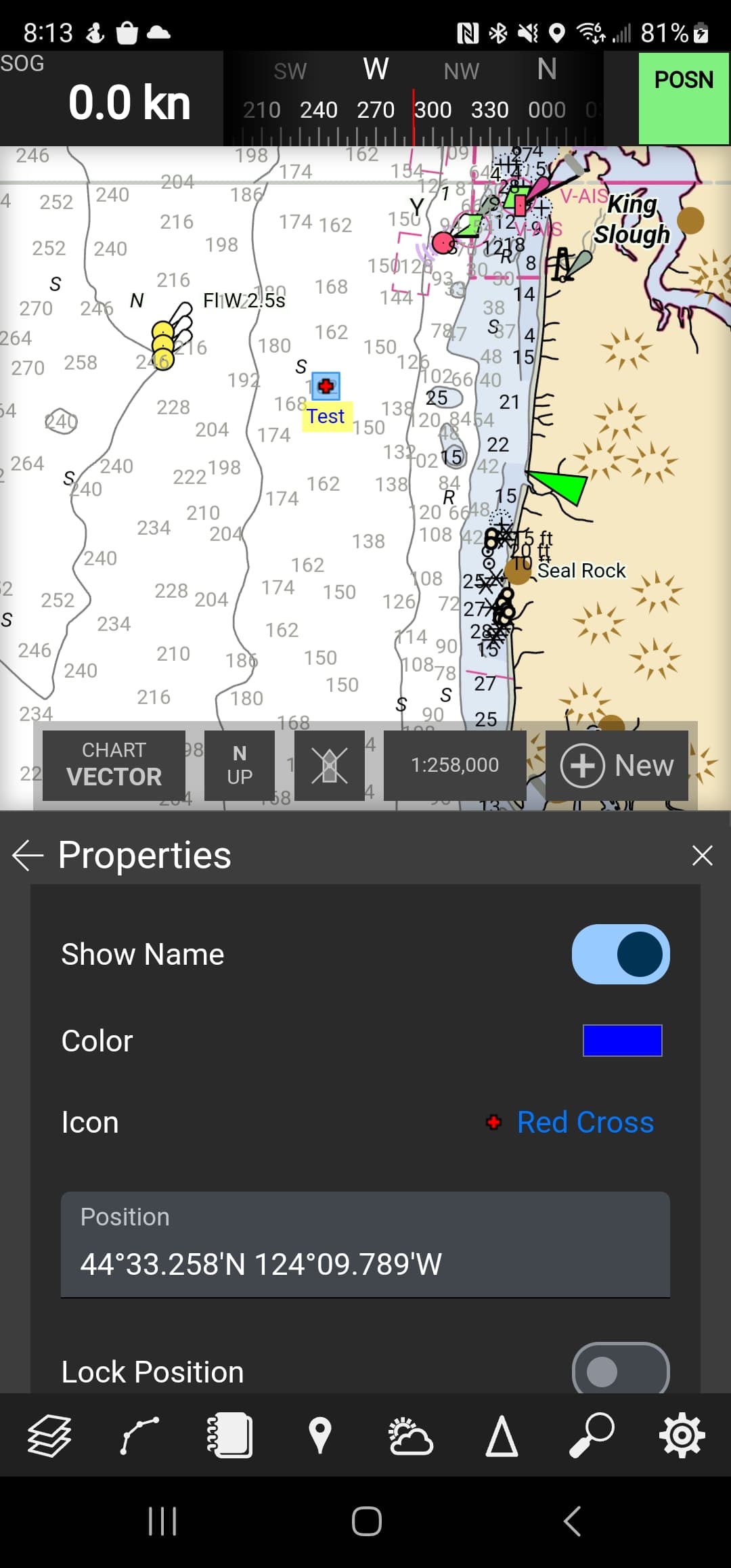
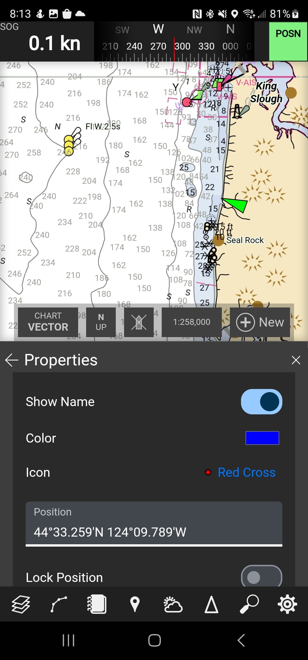
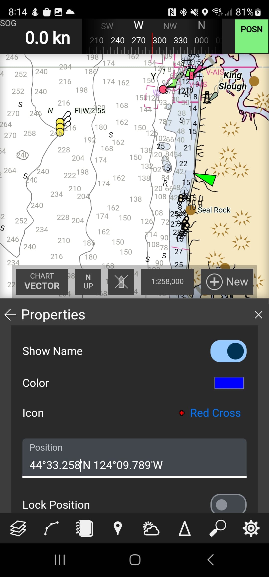
When dropping a mark, it is initially visible. But when I manually update the coordinates, the mark disappears from the chart. When I look in the layer information, the mark coordinates are blank.
-
When creating a route, there doesn’t appear to be a way to use existing marks or manually adjust waypoint coordinates.
Any thoughts on these issues?