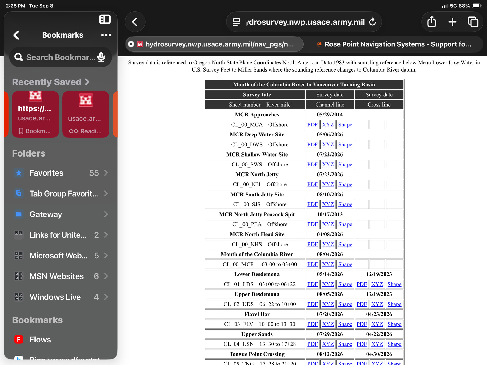
Just had a great discussion with my Columbia River Pilot friend (Chuck Patching) who helped with the AIS feed at Shavers last may. I was showing how we input the sounding data in R.P. And he explained that on the Columbia River they use CRD (Columbia River Datum) not MLLW to get accurate sounding information on the chart. So I read the fine print and there it is. Can we add this to the wish list?
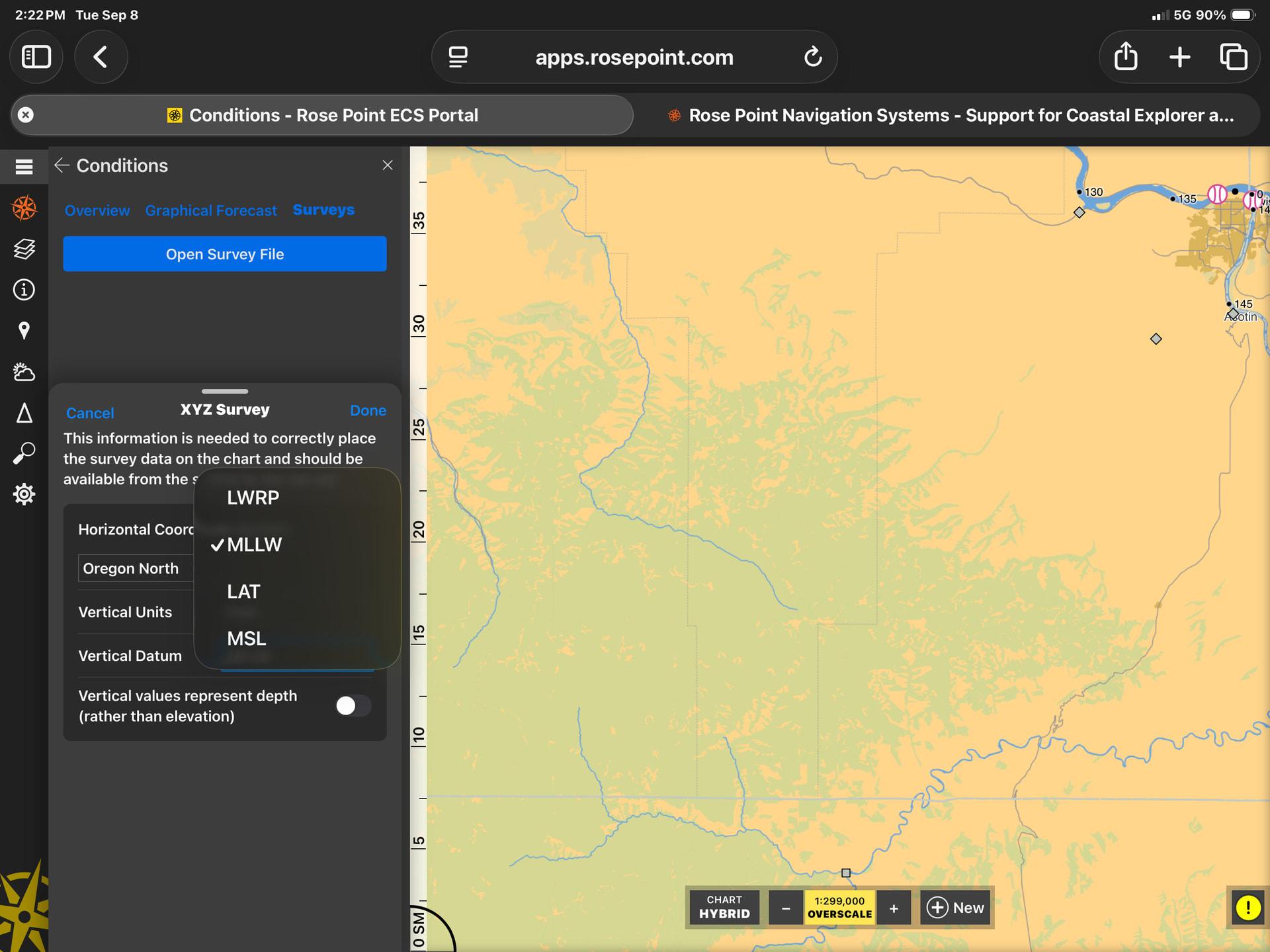
Yes we can add that to the list, but the Vertical Datum selection is “for your information only” in that we are not performing any adjustments based on what is selected. I believe all USACE surveys use the same datum as the charts for their area.
1 Like