Brad,
I understand that I can down load charts onto my iPad so that can be viewed when a cellular or internet connection is not available. However, I run the Atchafalaya river an Delta region, an cell phone coverage is poor at best. I need the ability to view the Satellite Image tile overlay at the same time can you PLEASE make this happen.
We like to be able to allow that, but have a couple of problems to solve first, and it’s likely that only a very small area of “high resolution” images will be downloadable. The first problem is that Coastal Explorer is getting the aerial photos from Bing and Microsoft’s license does not allow them to be downloaded for offline use. We can get images for the US that we are allowed to provide for offline use, but they are not as high in resolution. The other big problem is that the bandwidth and storage requires for this type of imagery adds up quick, so we’ll need to do something to limit how large an area can be selected. We’ll see what we can do, but I can’t make any promises.
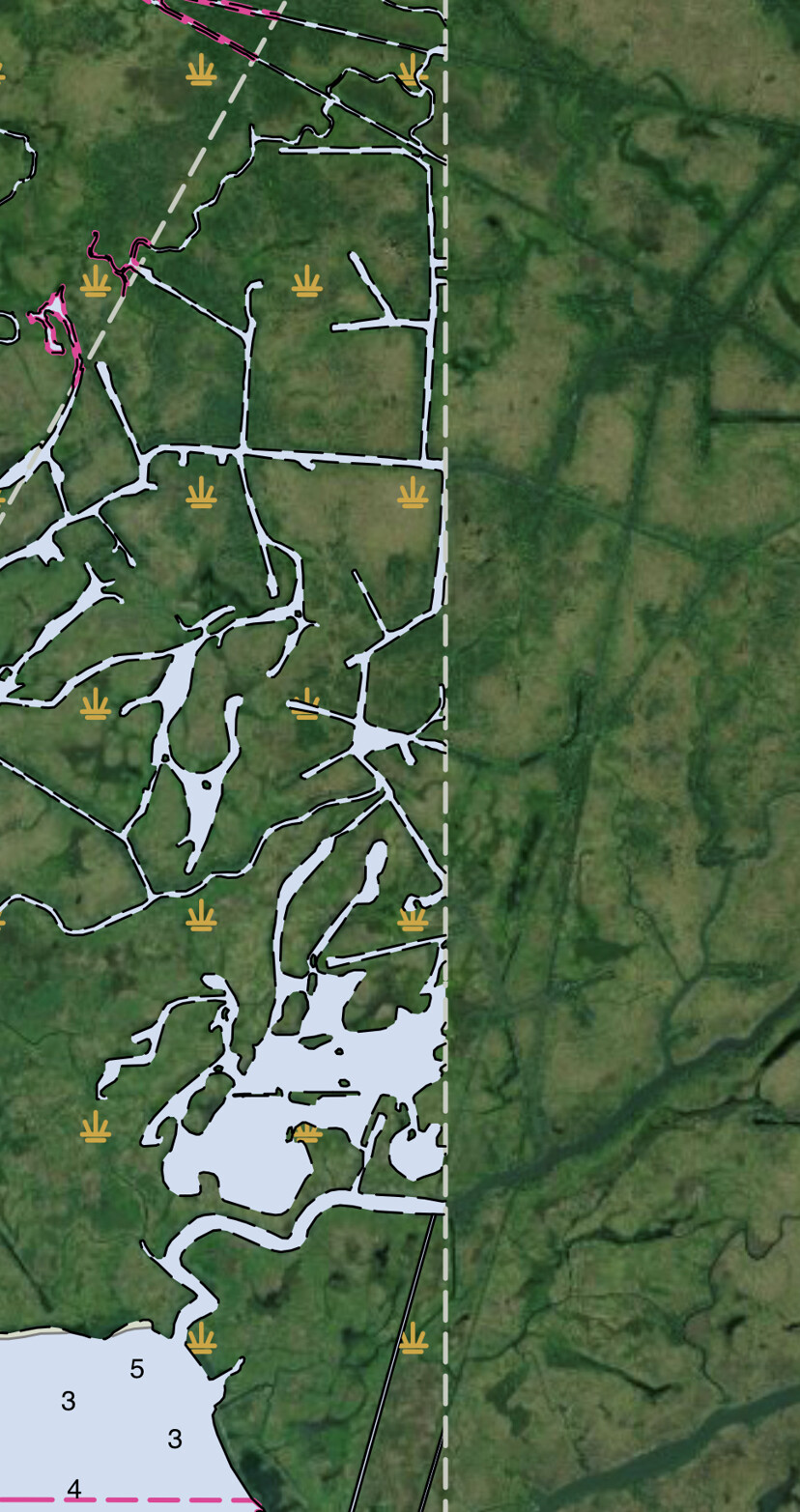
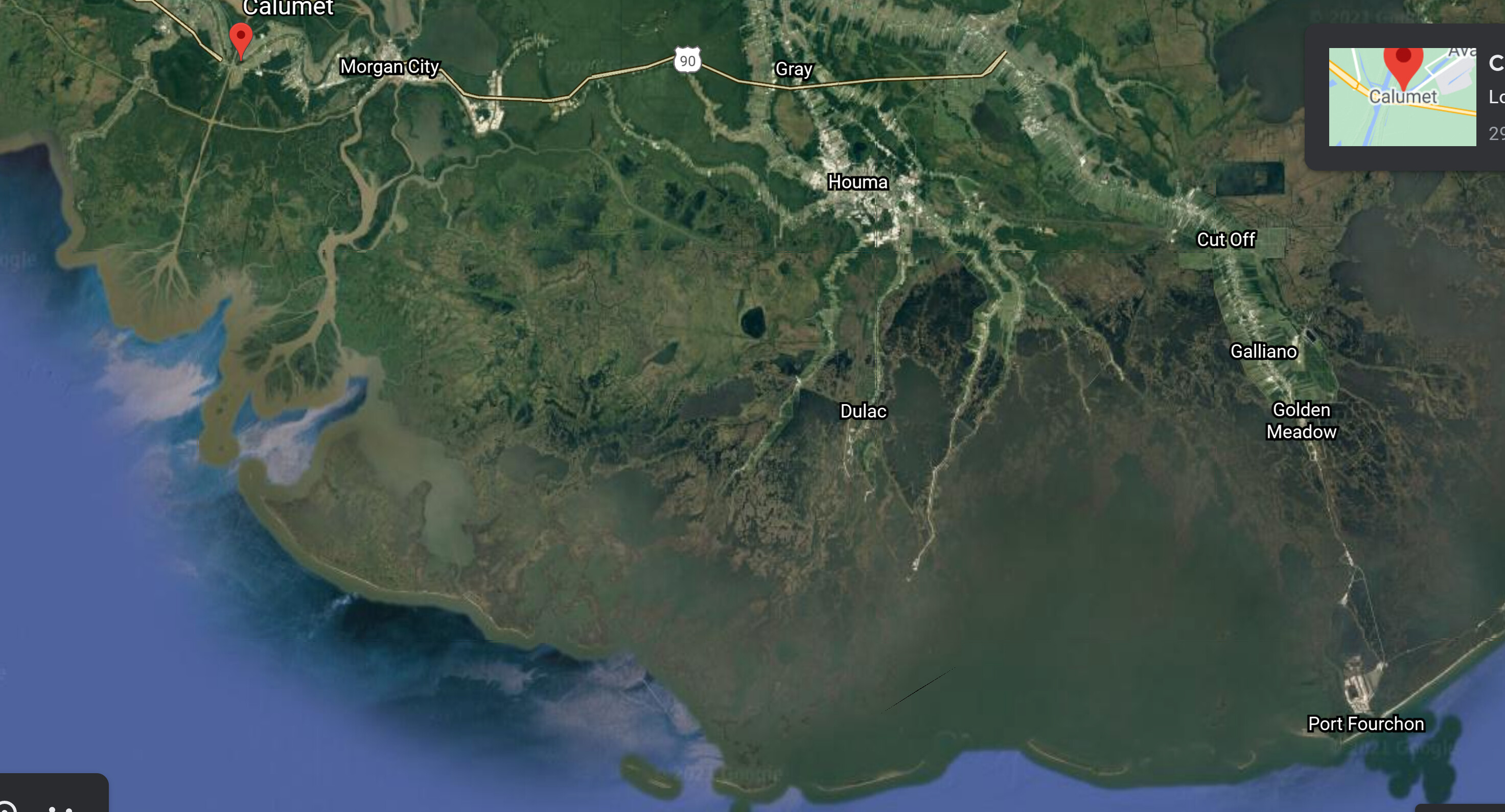
This is the area of coverage that I am looking for, I have a dedicated unit with a 100gs of storage exclusively used for navigation so I am really not worried about that. This is an honest end user problem that affects 1000s of individuals in the Delta, I have contact all of your major competitors regarding this issue an have been consistently brushed aside, please help us.
We need to be able to run High Definition images offline while actively tracking our GPS position.
This is a big deal going into anchorages in Alaska too, lots of open areas have just enough cell service, but as soon as you go around a corner, it’s gone. Can you purchase the sat imagery and sell it for download for a few bucks for your users?
The bigger problem is the size. Aerial imagery is huge. The area depicted above would use more than 8 GB at a “medium-high” resolution and would require over 200,000 individual images to be downloaded (each of which adds additional overhead). A “high” resolution would be 64 GB and 1,600,000 individual images.
While an individual device might have enough storage to hold this much, allowing a lot of people to download this much data is going to impact the performance of our servers and fixing that could wind up costing us more than we could charge for the service. And the user experience is not going to be great; the biggest complaint we got during the Coastal Explorer Beta program was that downloading raster charts took so long people didn’t think it was working.
But, like I said, we understand the desire to have this and will do what we can to provide it in the future. We can solve the licensing problem by throwing money at it, but we still need to come up with a way to limit how much data can be downloaded. One possibility is to allow downloading high-resolution imagery only on planned routes. We could also let you select an arbitrary area, but decrease the resolution based on how large the area is. I’m sure we’ll come up with other things to try when we get a chance to work on this problem…