I was checking tides near my house today and found some changes from the past.
(I had applied the rpmod for 2026 tides in january. I reapplied today, but no change.)
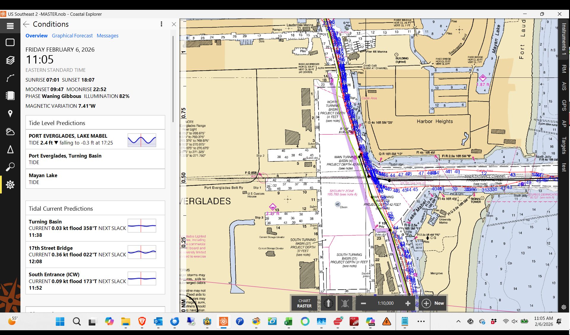
Previously, my go-to station for reference to my house dock was Port Everglades, turning basin, which is near berth 13 in slip 3. Now the conditions panel shows no data for the turning basin, and lists Lake Mabel as the only nearby tide station with data. (Fine, maybe noaa is changing things)
But Noaa (according to CE display) is now calling the turning basin station “ lake mabel”.
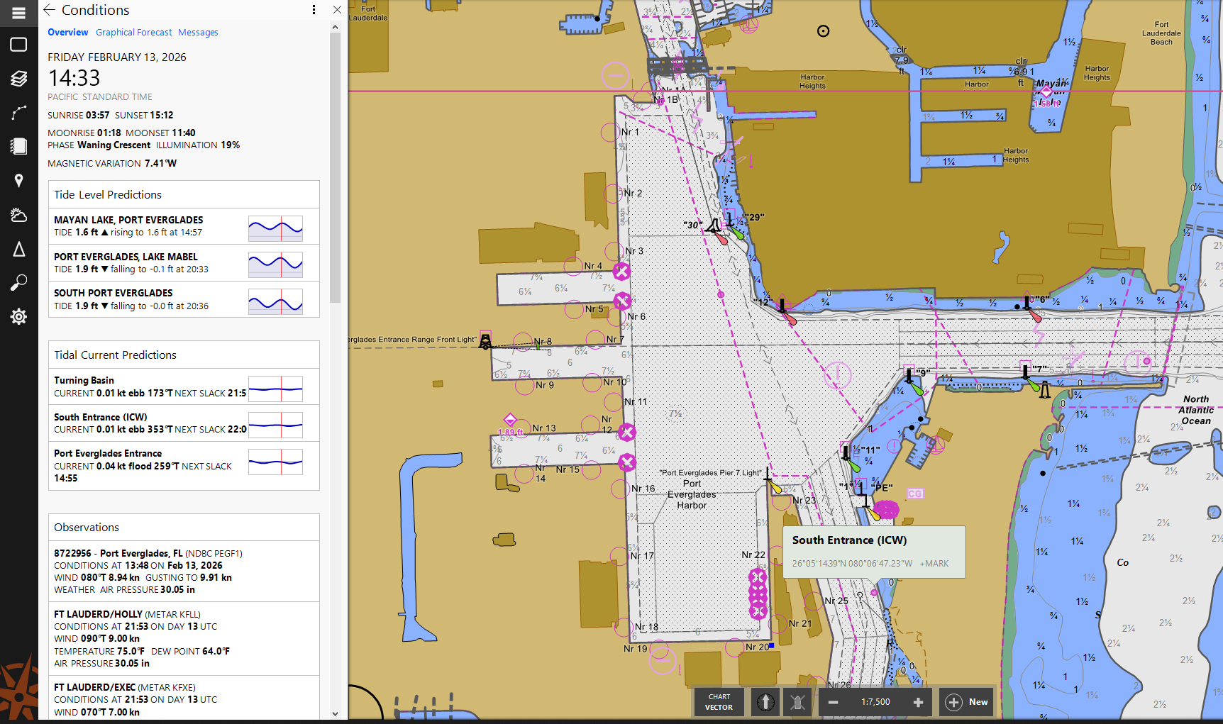
Do you see the same error when set to vector charts? It’s possible NOAA has discontinued or changed those station names, and the raster charts are referencing that old data. On my copy of CE in the same location using vector charts I see this:
Tom, you are correct… The tidal predictions are not part of the charts (well, they with C-MAP charts, but not these).
We are about to release an update that should fix this and a few other tide station issues. You can install it now from 2026 US Tide and Current Data - Rose Point and it should be an automatic update on Monday.