I have a company survey file that works with old version of ECS and CE but not with this beta test version. It’s in the charts folder on my hard drive and automatically loads it on the chart as long as my soundings are turned on. I’ve tried using the open survey file and going through the different settings but have not got it to work.![]() was wondering what I was missing in the update where it would automatically work if in the chart folder.
was wondering what I was missing in the update where it would automatically work if in the chart folder.
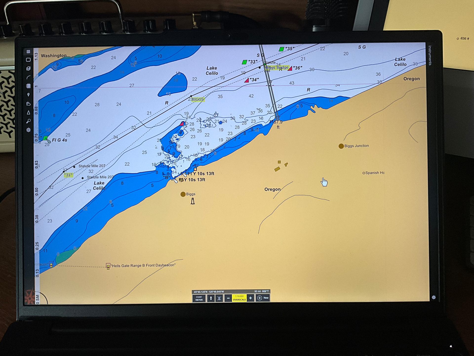
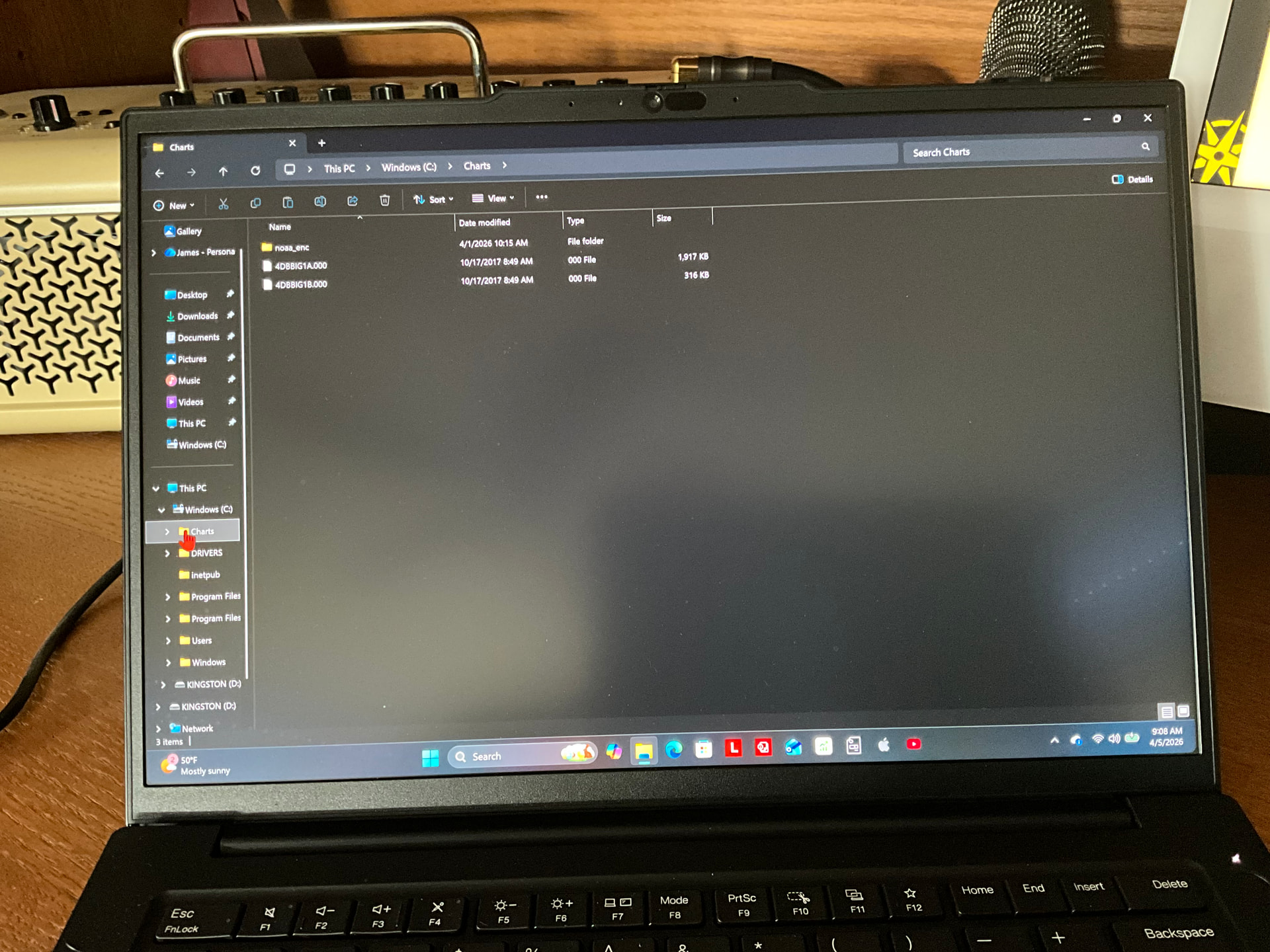
Those files are in the S-57 vector chart format that V4 could load directly but v4.5 cannot.
1 Like
Does the company need this changed to XYZ format then, if so I’ll notify them about it .
No, as I mentioned in a related topic, XYZ is a horrible format. But I’d like to better understand what is really going on here so see if we can come up with a good solution. Are you saying your company is doing their own surveys and producing these files? Is this an ongoing process (the files in your screen shot are pretty old)?
1 Like
I see, the company had it done years ago but would like to still use them if possible.
If it’s just those two files, I can probably help perform a conversion once we figure out an appropriate way to handle them.
The reason I keep saying XYZ files are horrible is that they are just a text file with three numbers on each line without any information about what those three numbers are other than that they are X, Y, and Z coordinates. Typically the X and Y coordinates are in a state plane coordinate system and there’s no way for the software to know which one is being used. That’s why you need to select one after opening the file. In addition, sometimes the Z coordinates are depths and sometimes they are elevations. And sometimes the file uses feet and other times it uses meters. After opening an XYZ file, if you don’t select all the right options, the survey will appear in the wrong place and potentially show the wrong depths.
I am hopeful that the the eHydro data can completely obsolete the use of XYZ files and the need for people to find them on their own. It looks like we will be able to show a “catalog” of surveys similar to how we show chart catalogs and you would be able to download them from within ECS. It also looks like we can get all of the surveys in a more modern format that will not require any options to be selected just to display the data.
But that would only make the USACE survey data easier to use…I’m not sure how to handle “user-supplied” survey data yet as this is the first time it’s come up.
1 Like
https://www.nwp.usace.army.mil/Missions/Navigation/
My contact at the ACE Portland Dist. gave me this link that might help. He’s a believer in shape files.