Tried this at the boat, where the computer had position data. Instant Route does require GPS position for that option to be active. Even with the feature active, it does not make a lot of sense.
If I use Instant Route, I can drop a marker that appears to be the end point of the route. From there I could move that marker around, and then touch the straight line route to insert additional points and move those around.
What is the use case here? Building a route from the end and working backwards?
I’m not convinced that this is faster or easier than building a route the usual way.
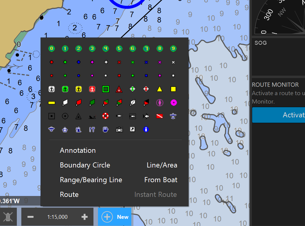
Instant Route creates a route from your current location to the next point you click on the chart and then activates that route. It is not intended that you modify the route afterwards; it’s just a really quick way to use a route that takes you in a straight line to some other spot. It has limited utility, but can be very handy when the right situation comes up.
This is an example of one of the things that Coastal Explorer could do better. Documentation. You have this feature that is not even mentioned in the online documentation.
Better documentation would make Coastal Explorer a better tool. It is already a great tool, but better documentation would make it better.