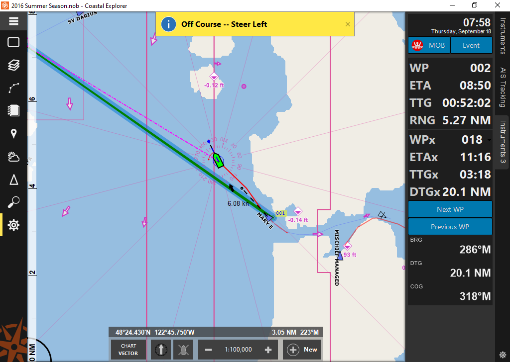
At least several of the mid-scale NOAA charts for northern Puget Sound and the San Juan Islands are failing to display. For example, US4WA31M is installed and updated, but when CE tries to display it, all it shows is the basemap. Unfortunately, 1:80,000 is a very useful scale for us, and it seems to happen with charts at this scale (Northern Puget Sound did the same thing as we were coming up behind Whidbey).
I tried removing the chart and having it re-download, but that did not solve the problem. Luckily, we still have paper charts to fill the gap. If there’s a fix though, would make our vacation easier.
Thank you, Tim Onders, S/V Frog Prints
1 Like
Years ago I had a similar dilemma entering the SW end of Cape Cod Canal. I was single handing and the square waves in Buzzards Bay can kick up quite a mess when current opposes a prevailing NE blow.
Did not have the luxury to leave the wheel to play with charts… so I called up Rosepoint tech support and enabled remote access to CE via my Verizon MiFi (long before Starlink).
After a quick analysis it was determined that I was at the edge of 2 NOA charts, and the one taking precedence (the one on top) did not have the sounding data… whereas the one below held that precious info.
Within 5 minutes the problem was solved remotely, and I could safely navigate my way into the canal entrance (without leaving the helm unattended).
Mind you the MiFi was not very fast, as I was some distance from a cell tower (long before 4G). The technician and I laughed that it was akin to working remotely over a 9,600 baud dial-up modem.
kudo’s due to Rosepont tech support !
Skipper
1 Like